Station Information
Latitude: 46.95402 N
Longitude: 90.50452 W
Depth: 60 ft

Notice:
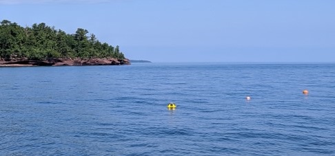
- The measurements below are collected at the northeast of Stockton Island. Caution should be used during westerly winds as the buoy is sheltered behind Stockton Island. See Map Above.
-N/A stands for Not Available.
-Wave Direction is the direction waves are coming from.
Time 11/21/2019 |
Wave Height (ft.) |
Wave Direction |
Average Period (sec.) |
Peak Period (sec.) |
|---|---|---|---|---|
| 3:30 PM | N/A | N/A | N/A | N/A |
| 3:00 PM | N/A | N/A | N/A | N/A |
| 2:30 PM | N/A | N/A | N/A | N/A |
| 2:00 PM | N/A | N/A | N/A | N/A |
| 1:30 PM | N/A | N/A | N/A | N/A |
| 1:00 PM | N/A | N/A | N/A | N/A |
| 12:30 PM | N/A | N/A | N/A | N/A |
| 12:00 PM | N/A | N/A | N/A | N/A |
| 11:30 AM | N/A | N/A | N/A | N/A |
| 11:00 AM | N/A | N/A | N/A | N/A |
| 10:30 AM | N/A | N/A | N/A | N/A |
| 10:00 AM | N/A | N/A | N/A | N/A |
| 9:30 AM | N/A | N/A | N/A | N/A |